


Urban Service Area Expansion
Overview
On November 15, 2023, the Board of County Commissioners (BOCC) directed Planning Commission and County staff to provide a report on possible geographic areas that the BOCC might consider for future expansion of the existing Urban Service Area (USA) boundary and what public and private funding options exist for providing infrastructure and services commensurate with new development.
On March 6, 2024, staff presented the findings of the report to the BOCC and have directed staff to:
- Move forward with expanding the Urban Service Area for the Wimauma Village Residential-2 (WVR-2) and the Residential Planned-2 (RP-2) areas and;
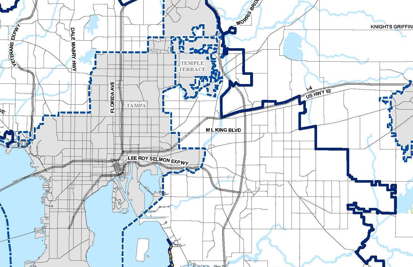
- Provide additional study on the Interstate 4 and Little Manatee South areas, including infrastructure needs and possible funding.


Public Comment
We encourage engagement, please let us know what you think!
Stay Connected
Sign up to receive email updates on this project.