


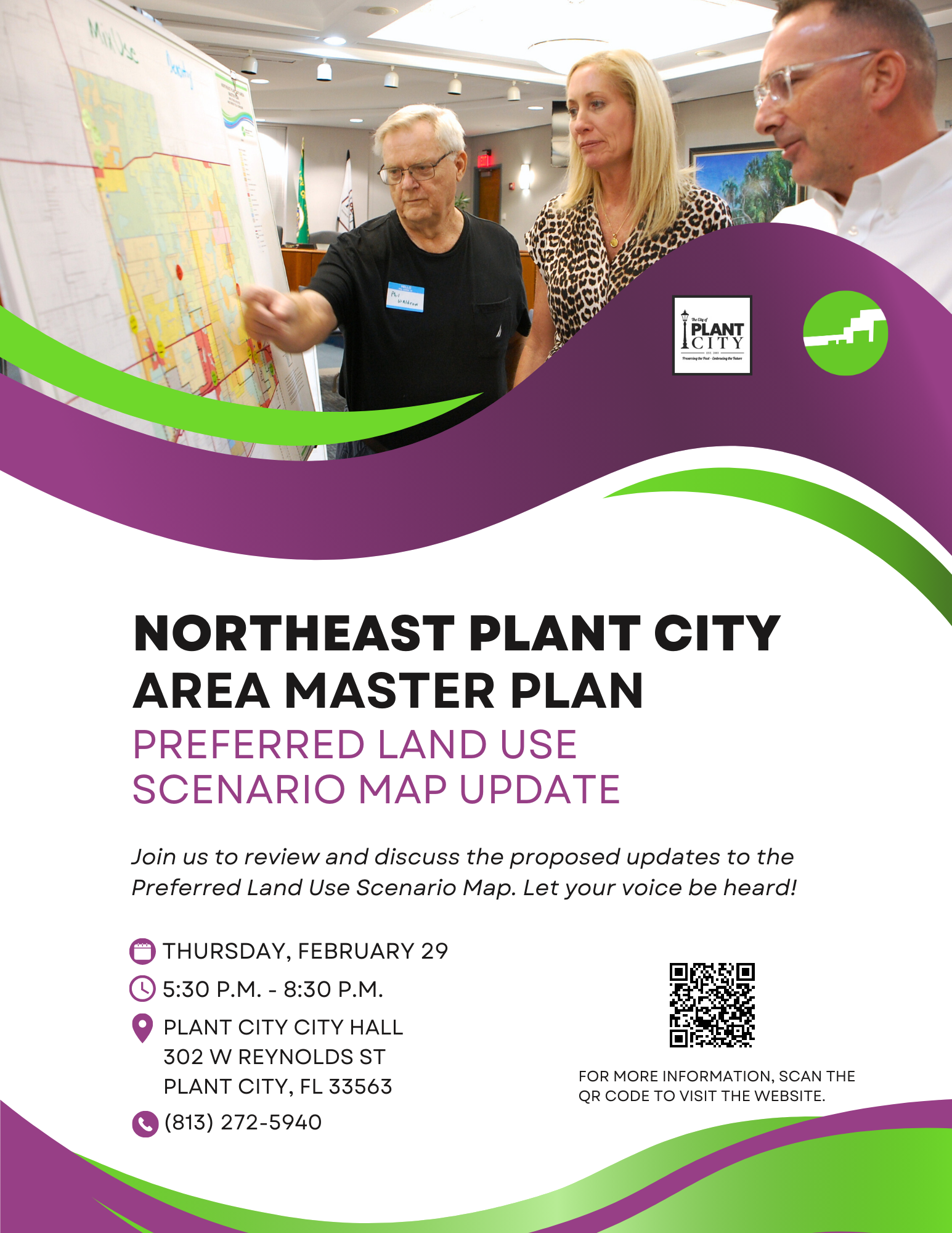
Northeast Plant City Area Master Plan Preferred Land Use Scenario Map Update
Overview
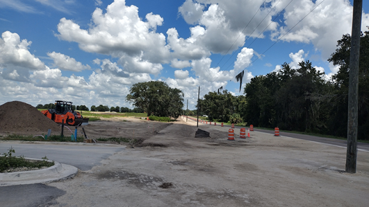
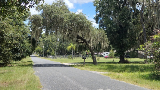
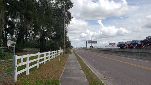
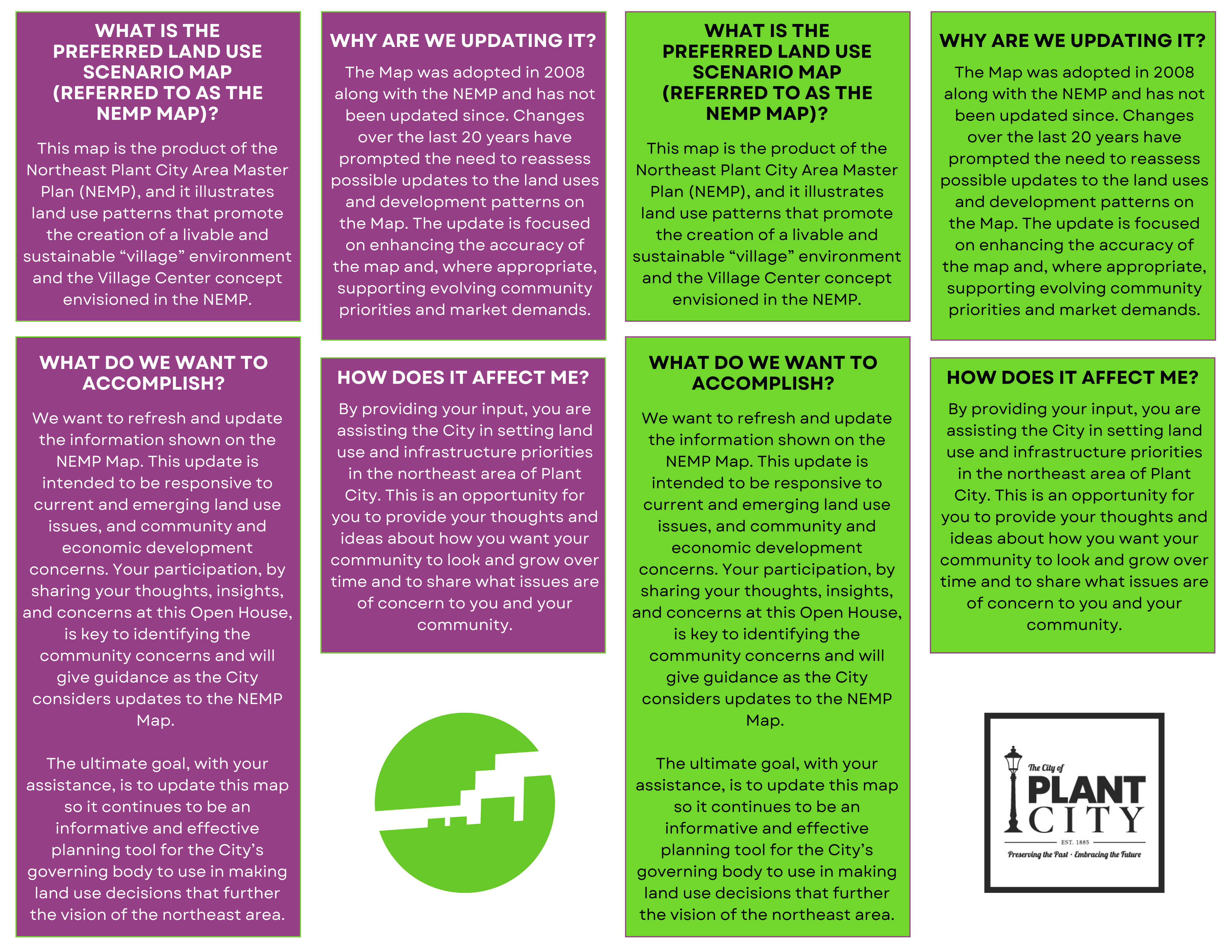
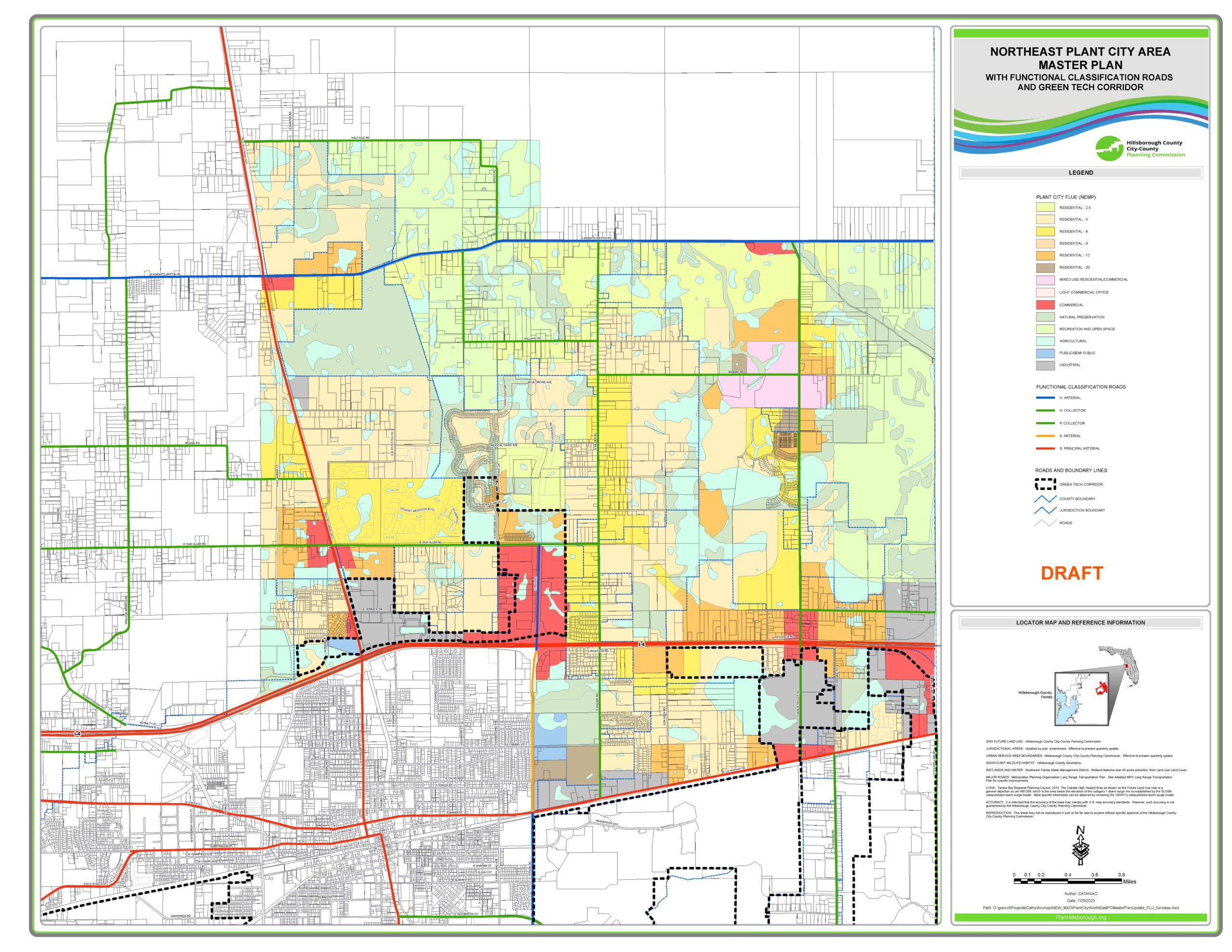
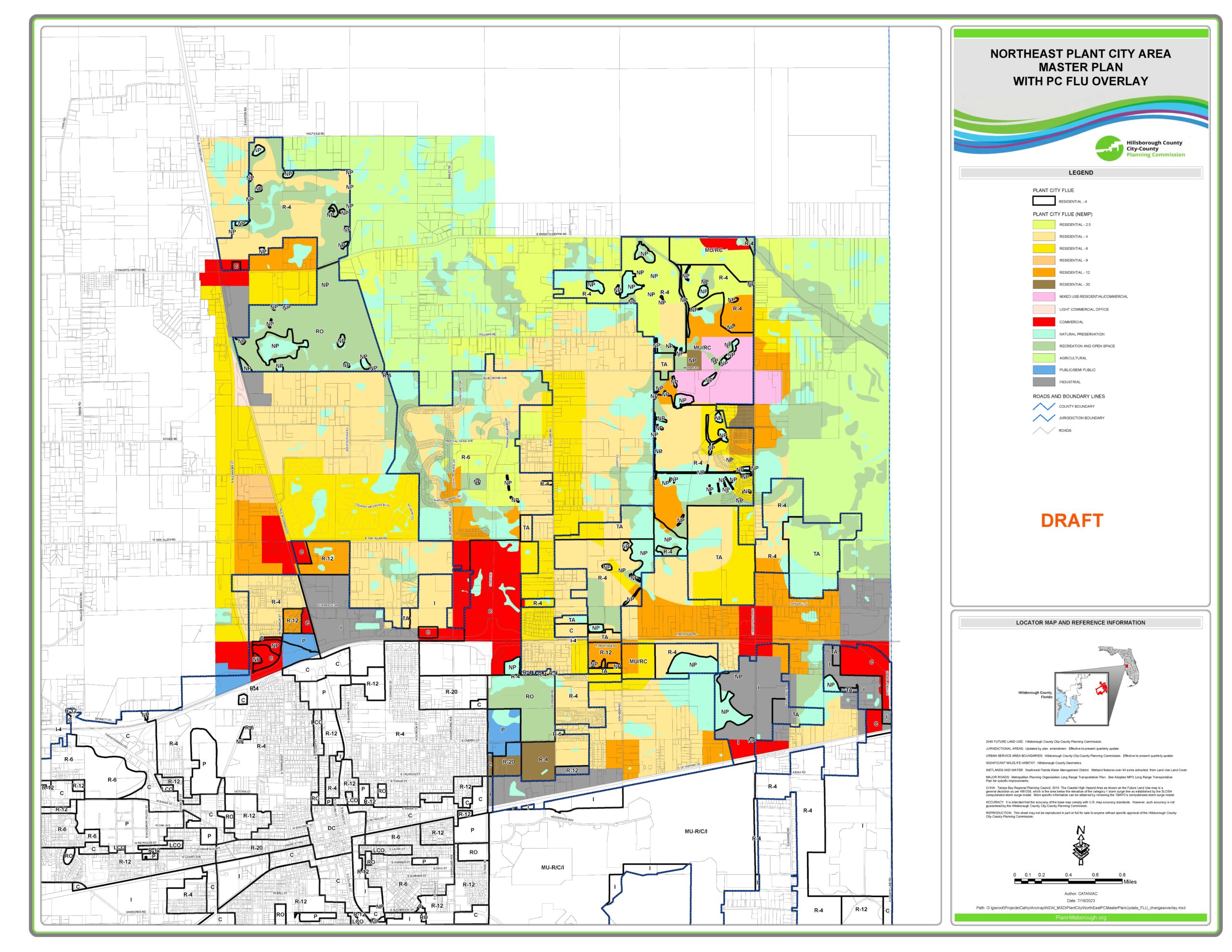
By the 2040 planning horizon year, the Planning Commission projects Plant City to have a population of more than 65,000, with much of this residential growth envisioned to be in northeast Plant City. Recognizing this trend well in advance of the current growth, in 2008 the City developed and adopted the Northeast Plant City Area Master Plan which is delineated as the northeast quadrant of Plant City. This quadrant is anticipated to support and accommodate residential demand in the form of a “Village” style growth and development pattern envisioned by the Master Plan.
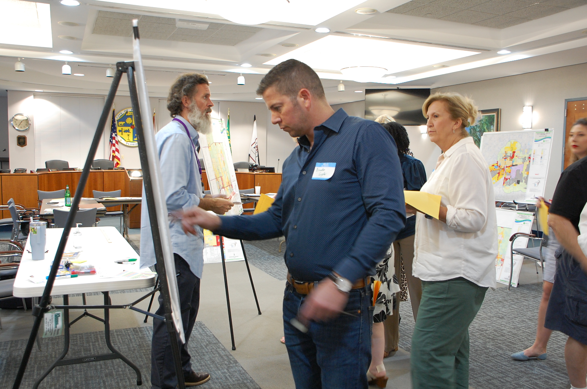
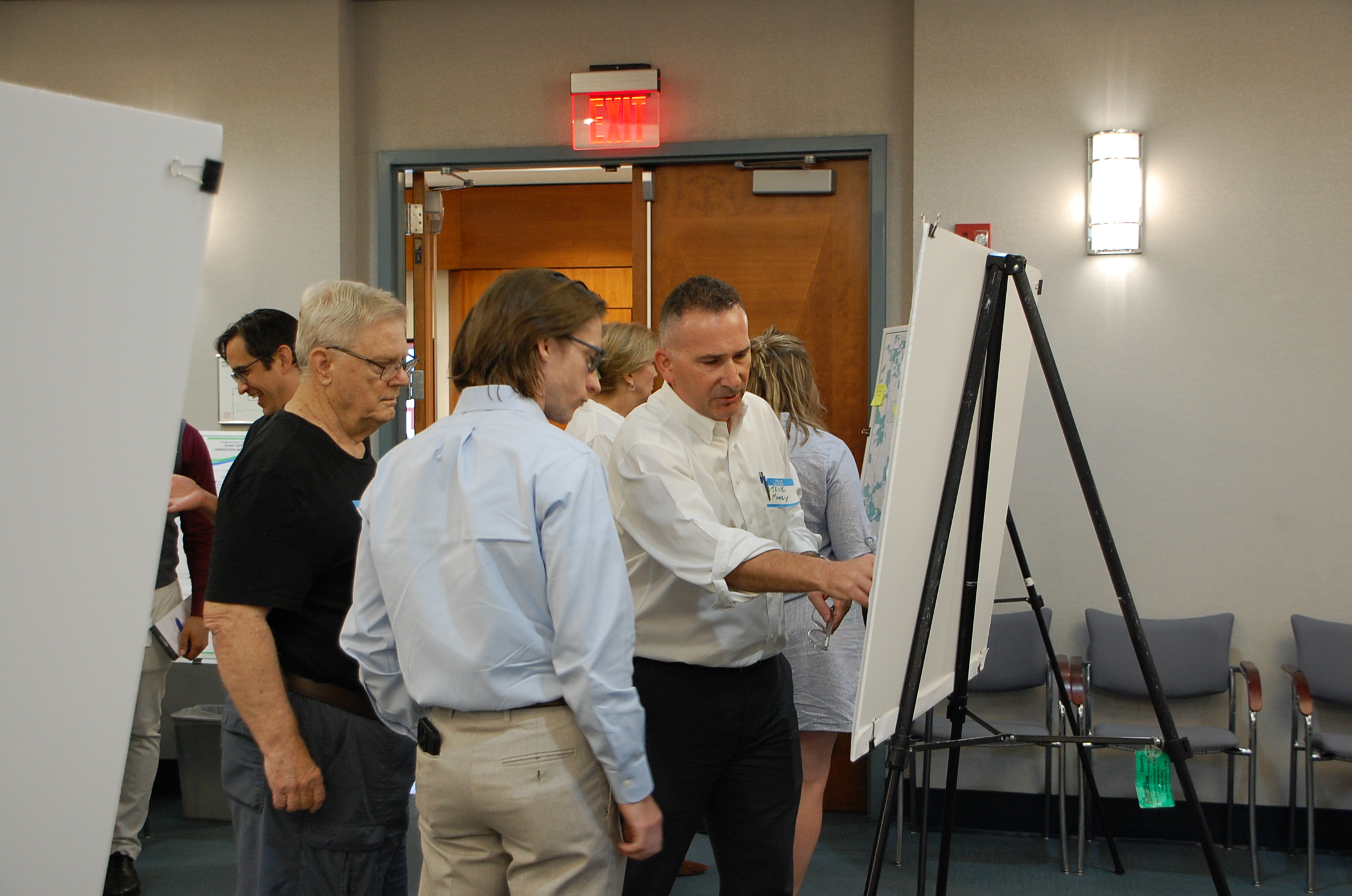
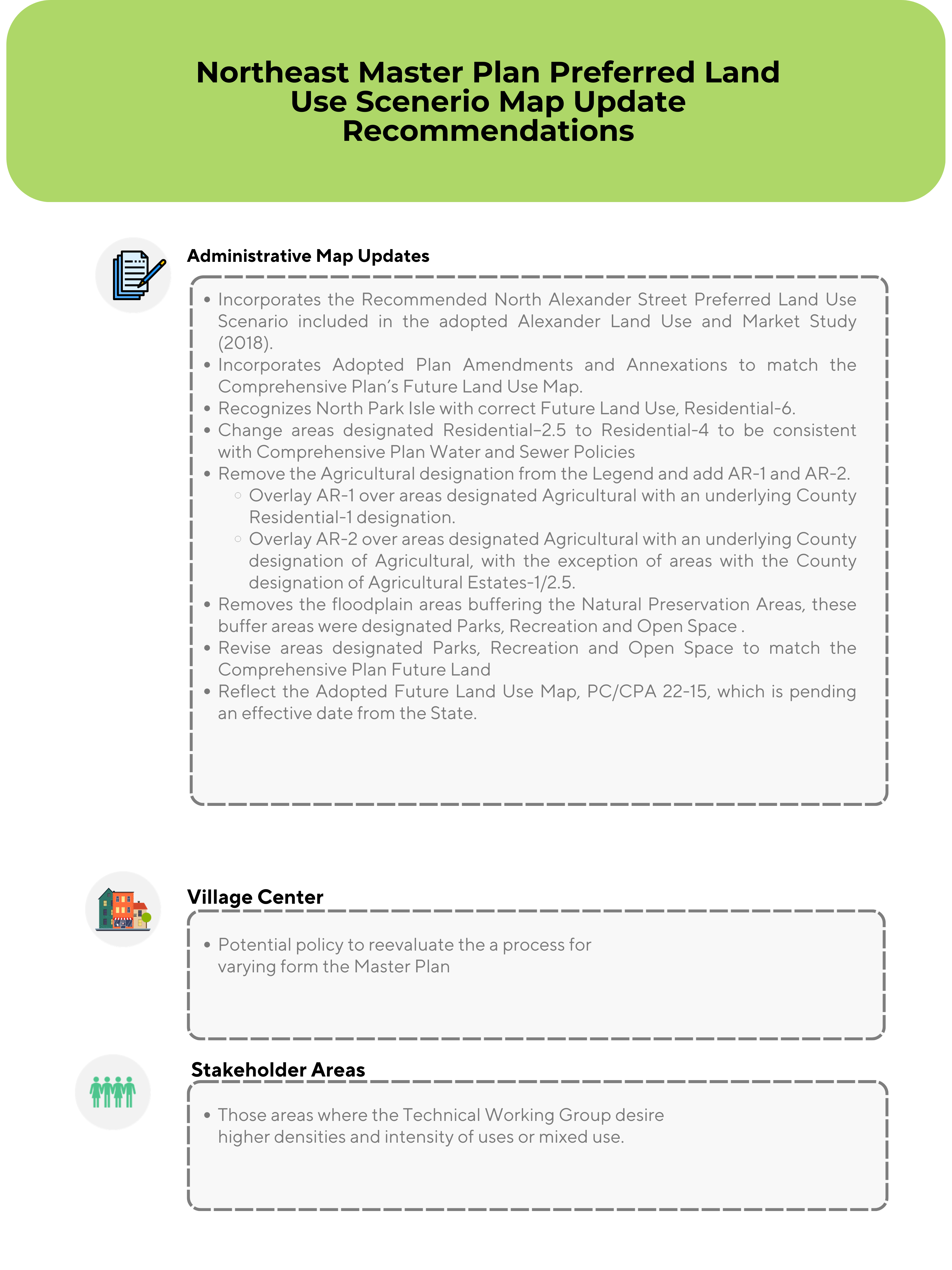
The Preferred Land Use Scenario Map, which was adopted as part of the Northeast Plant City Area Master Plan, is a graphic representation of the Master Plan. The Planning Commission is working jointly with Plant City staff to assess and update the Preferred Land Use Scenario Map.
Over time, emerging development patterns and changes in market demand have prompted the need to review and reassess the appropriateness of the land use patterns shown on the Preferred Land Use Scenario Map. The purpose of this project is to revisit the accuracy of the delineated land uses and to refresh the Map based on current economic and environmental considerations and context.
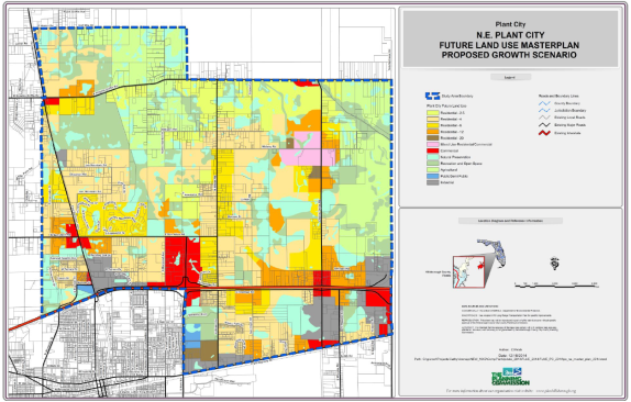
The overriding objective of this update is to revitalize the effectiveness of the Map as a strategic planning guide for future development in the Northeast Master Plan Study Area. While the update is not intended to be a comprehensive reassessment of the Study Area, it is designed to target specific locations which have been noted over the planning horizon to be experiencing growth and development incongruent with the Master Plan. It is anticipated that minor changes to the Map will include housekeeping type revisions to reflect existing conditions, realigning land use boundaries as needed to reduce the splitting of parcels by land use designations, and generally recognizing land use patterns and delineating them at a parcel level. Strategic land use changes may also be contemplated to reconcile existing and desired future land use scenarios envisioned by the Master Plan and to reflect evolving community priorities.
Join us to review and discuss the proposed updates to the Preferred Land Use Scenario Map. Let your voice be heard!
Thursday, February 29
5:30 P.M. – 8:30 P.M.
Plant City City Hall
302 W Reynolds St
Plant City, FL 33563
813-272-5940
Phases
Phase 1
- Preferred Land Use Scenario Map (2008) Review and Update
- May 2023 – September 2023
- Staff Completion of Alternative Maps
 Completed
Phase 2
- Public Outreach
- January 2024-March 2024
- Ongoing
Phase 3
- Public Workshops
- April 2024- June 2024
- Upcoming
Phase 4
- Approval/Adoption of the Updated Preferred Land Use Scenario Map
- TBD
- Upcoming
Technical Working Group Meetings


Public Engagement
Public Comment
Stay Connected
Sign up for email updates on this project.