


Community Air Quality Monitoring Network

Announcement: Coalition for Community Air Monitoring Meeting 4/18/2024 5-6:30pm
Join us for the first meeting of the Coalition for Community Air Monitoring! Anyone interested in the project is encouraged to participate. We will discuss expanding the Community Air Monitoring Network and Community Air Monitoring Site roles, responsibility, and eligibility. Click here to join the Teams meeting Thursday, April 18, 2024 5-6:30pm.
About the Community Air Monitoring Network
The Hillsborough Transportation Planning Organization is working with the University of South Florida, Environmental Protection Commission of Hillsborough County, and community organizations to study air quality in underserved communities along the interstates by creating a network of small, affordable air monitors. This Community Air Monitoring Network is made up of community organizations and entities who volunteer to be Community Air Monitoring Sites and host an air monitor (e.g. PurpleAir and Clarity monitors). These air monitors are emerging technologies being installed and researched around the world, as well as in Hillsborough County.
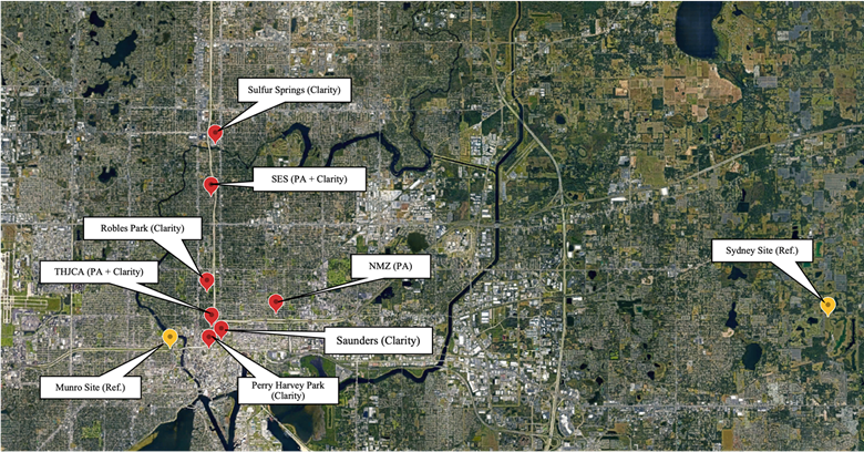
Community Air Monitoring Sites established through this project and EPC Regulatory Air Monitoring Sites used for testing:
- New Mount Zion Missionary Baptist Church (NMZ)
- Tampa Heights Junior Civic Association (THJCA)
- Seminole Elementary School (SES)
- Robert Saunders Library (Saunders)
- Sulphur Springs Park
- Robles Park
- Perry Harvey Park
- Munro EPC Site
- Sydney EPC Site
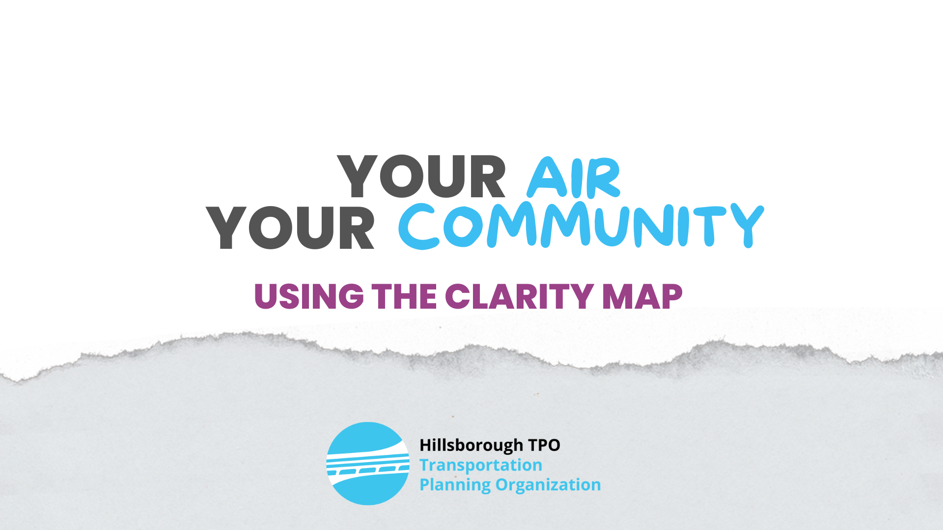
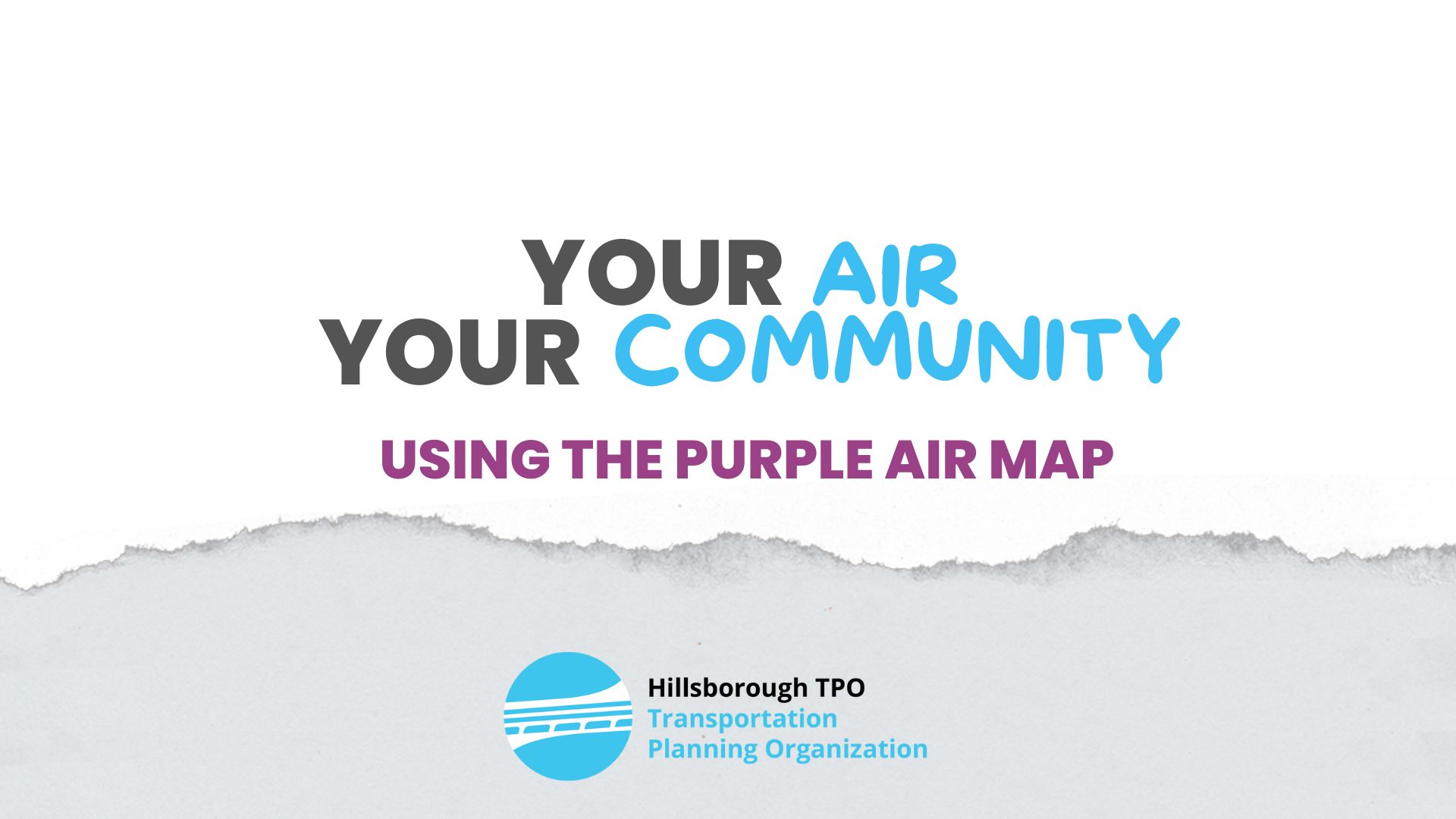
What’s the air quality like near you?
Use the real-time, interactive Clarity and PurpleAir maps to explore the air quality near you. Check out the Training Videos below for more information.
About Community Air Monitors
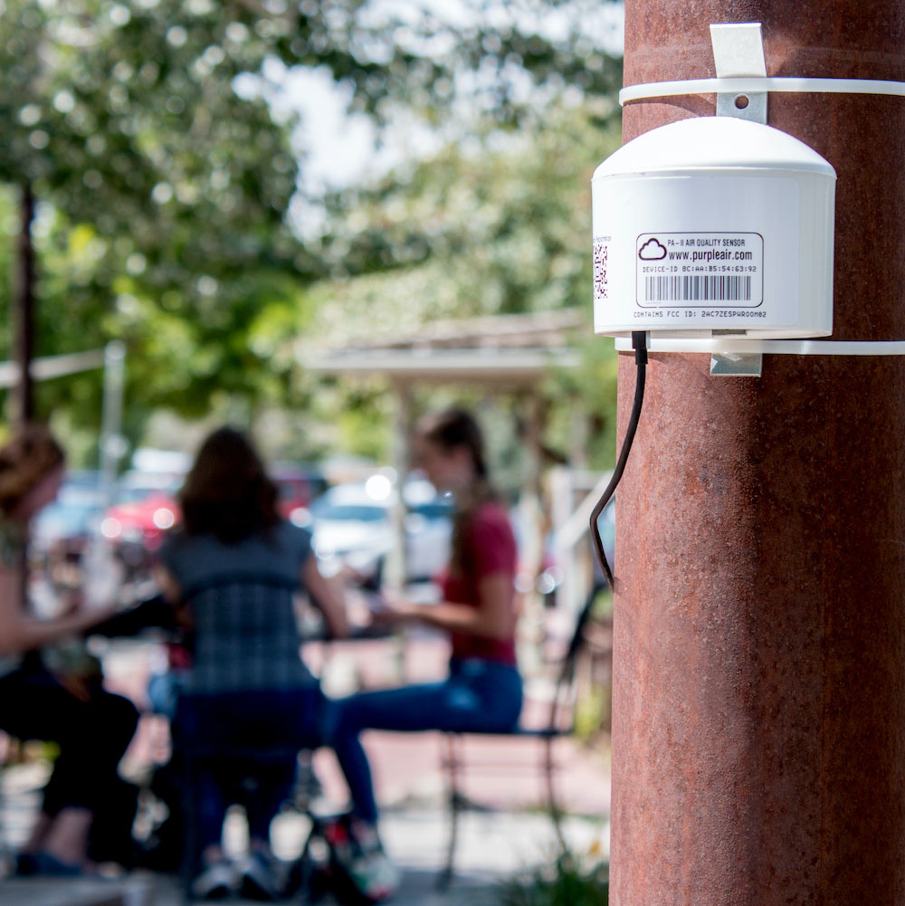
PurpleAir-PA-II monitor
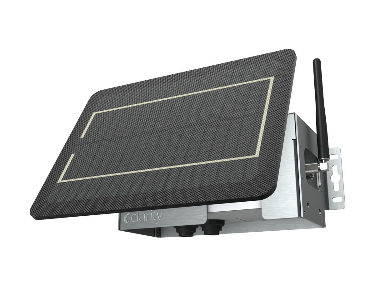
Clarity Node S Monitor
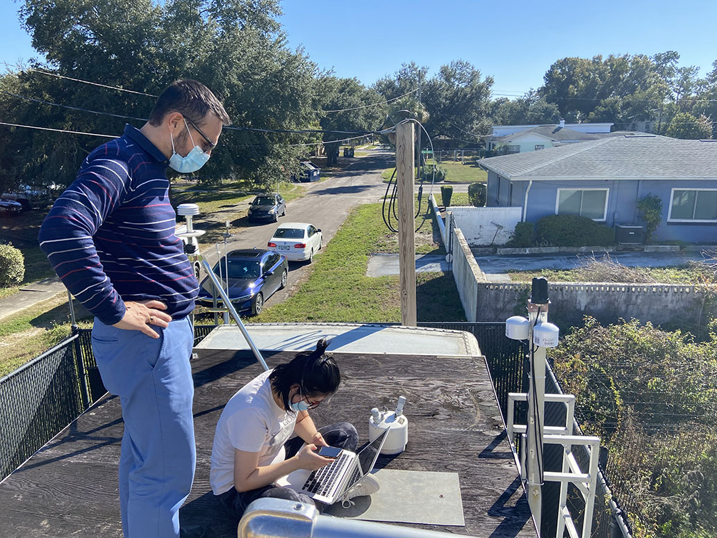
USF Researchers installing PurpleAir Monitors at the Hillsborough County EPC Munro Street Air Monitoring Site.
Phases
Phase 1
- Oct 21 – Mar 22
- Identify community monitoring areas
- Install monitors at control site and begin testing
- Engage community partners
- Focus Group
- Select community monitoring pilot sites
- Apply for EPA ARP Enhanced Air Quality Monitoring for Communities Grant
 Completed
Phase 2
- Apr – Sept 22
- Establish Community Air Monitoring Pilot Sites
- Collect and analyze community air quality data
- Public engagement with community sites
- Present findings
- Completed
Phase 3
- Oct 22 – Mar 23
- Report Findings
- Co-locate monitors at control site
- Continue data collection and analysis
- Public engagement
- Develop calibration methods
- Develop training
- Establish Community Air Monitoring Pilot Sites
- Completed
Phase 4
- Apr – Sept 23
- Awarded EPA ARP Enhanced Air Quality Monitoring for Communities Grant
- Continue long-term data collection and analysis
- Continue calibration methods
- Public engagement; disseminate training materials
- Completed
Phase 5
- Oct 23 – Apr 24
- Community Air Monitoring Network Kick-off Meeting
- Develop the Quality Assurance Project Plan
- Prioritize areas for community air monitoring
- Coalition for Community Air Monitoring meeting
- Ongoing
Frequently Asked Questions
Get Involved!
Community organizations, residents, and schools can help us establish the network and monitor air quality in neighborhoods:
- Host a low-cost air quality monitor,
- Volunteer to help install and maintain low-cost air quality monitors and spread awareness about air quality and the network,
- Join the Coalition on Community Air Monitoring

Documents
Supporting Documents & Resources
EPA Environmental Justice Screening Tool
Low-Cost Air Quality Monitoring Pilot Study Report Year 1
Low-Cost Air Quality Monitoring Pilot Study Report Year 2
AQ Monitoring Pilot Site Feedback 2022 (Map Password: airquality)
Past Presentations & Events
Community Air Quality Monitoring Pilot Study Update 09082022 Video